CANSAT (Educational Project)
Our first project as the KAYSat team was to develop a CANSAT, a model satellite the size of a soda can. Through this project, we gained valuable experience in collecting basic sensor data, transmitting it via telemetry, and processing this data. In this work, as Team Captain, I took part in coordinating the integration of electronic systems and the software development processes.
This hands-on project was a crucial first step for our team, establishing a strong foundation in satellite subsystems and mission operations. The experience gained here directly paved the way for our more advanced entry into the Teknofest competition.
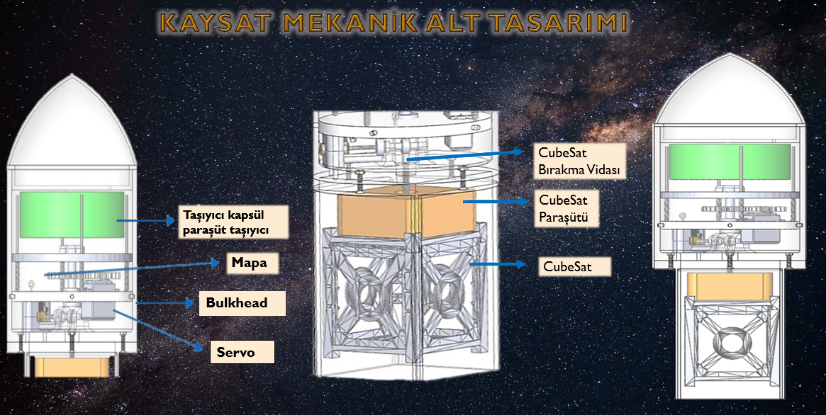
KAYSAT KAYSAT Model Satellite and Carrier System
(Teknofest Model Satellite Competition)
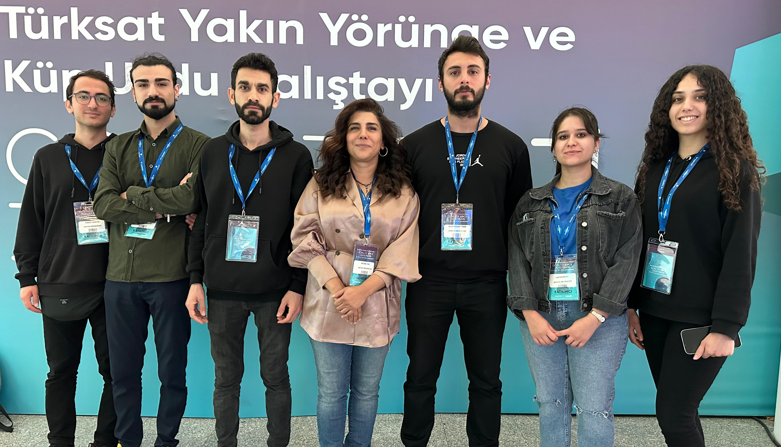
KAYSAT is a model satellite we developed for the TEKNOFEST 2023 Model Satellite Competition, designed to perform autonomous tasks according to the competition's requirements. In this project, alongside my responsibility as Team Captain, I also served as the Electrical Subsystem Designer. This process provided an opportunity to apply our theoretical knowledge in a competitive environment and to create a product as a team.
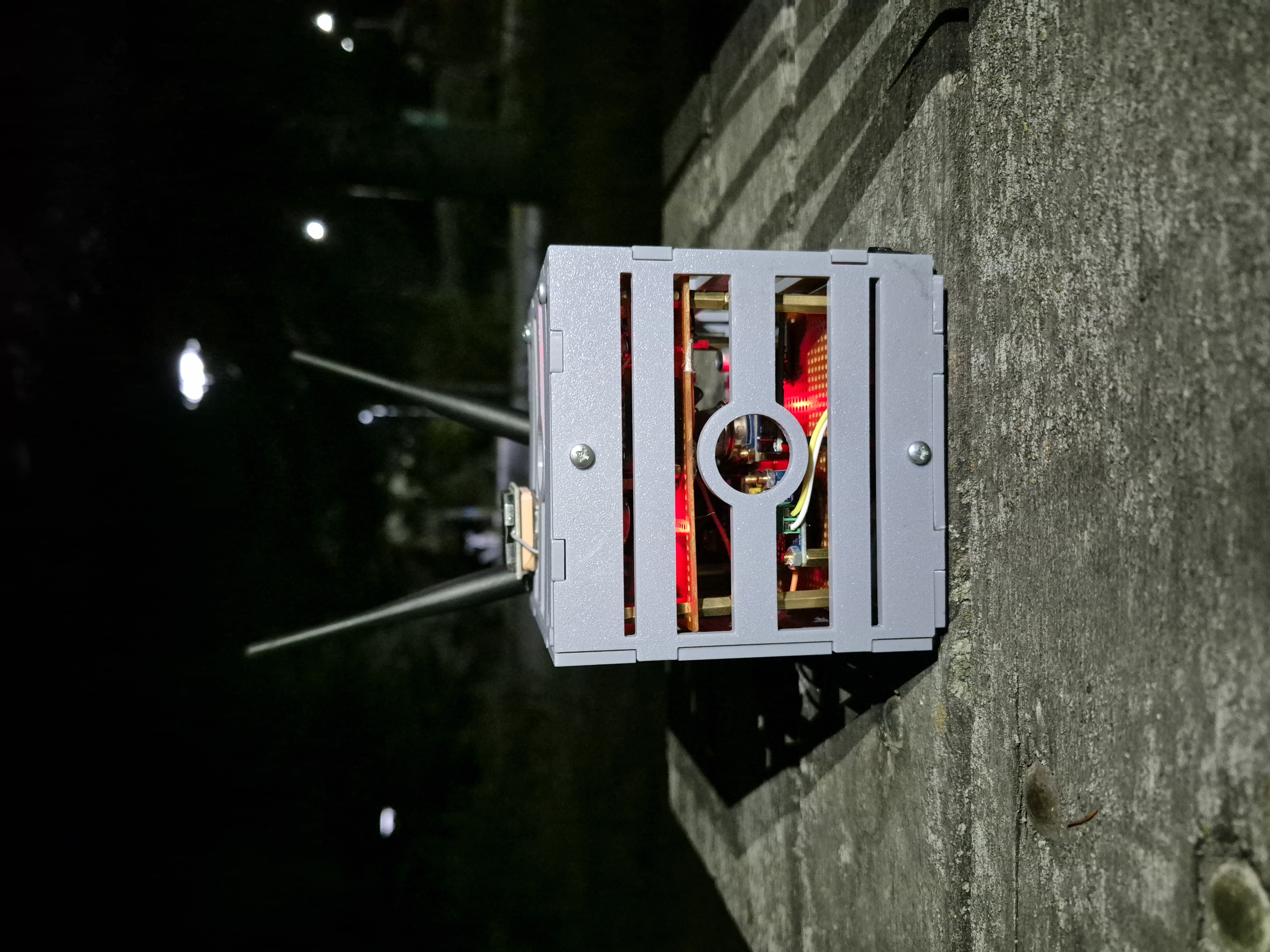
NOCTUS-06 Functional CubeSat and
Ground Station Platform
Developed by: Ali Berkant Eker
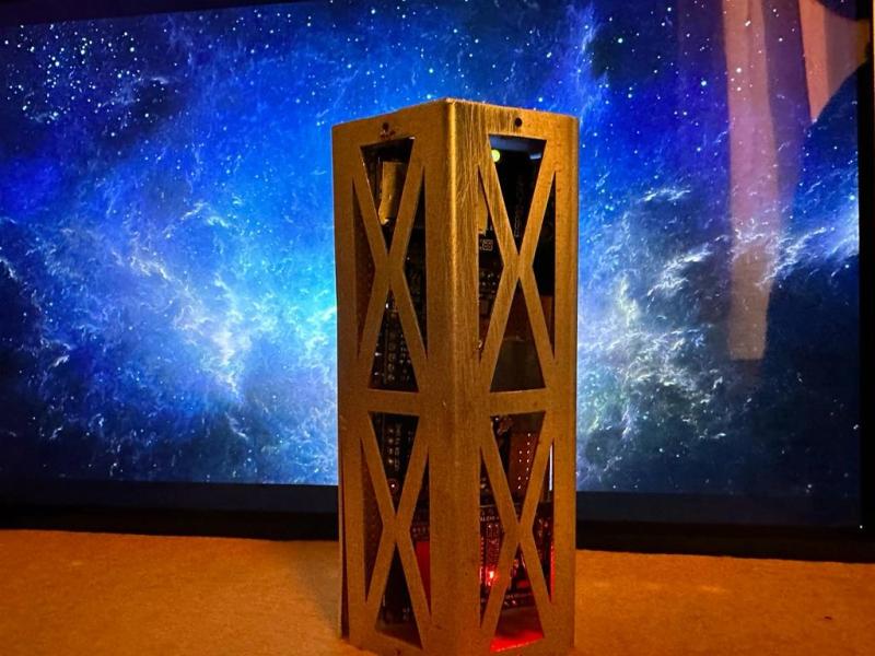
Core Platform Capabilities
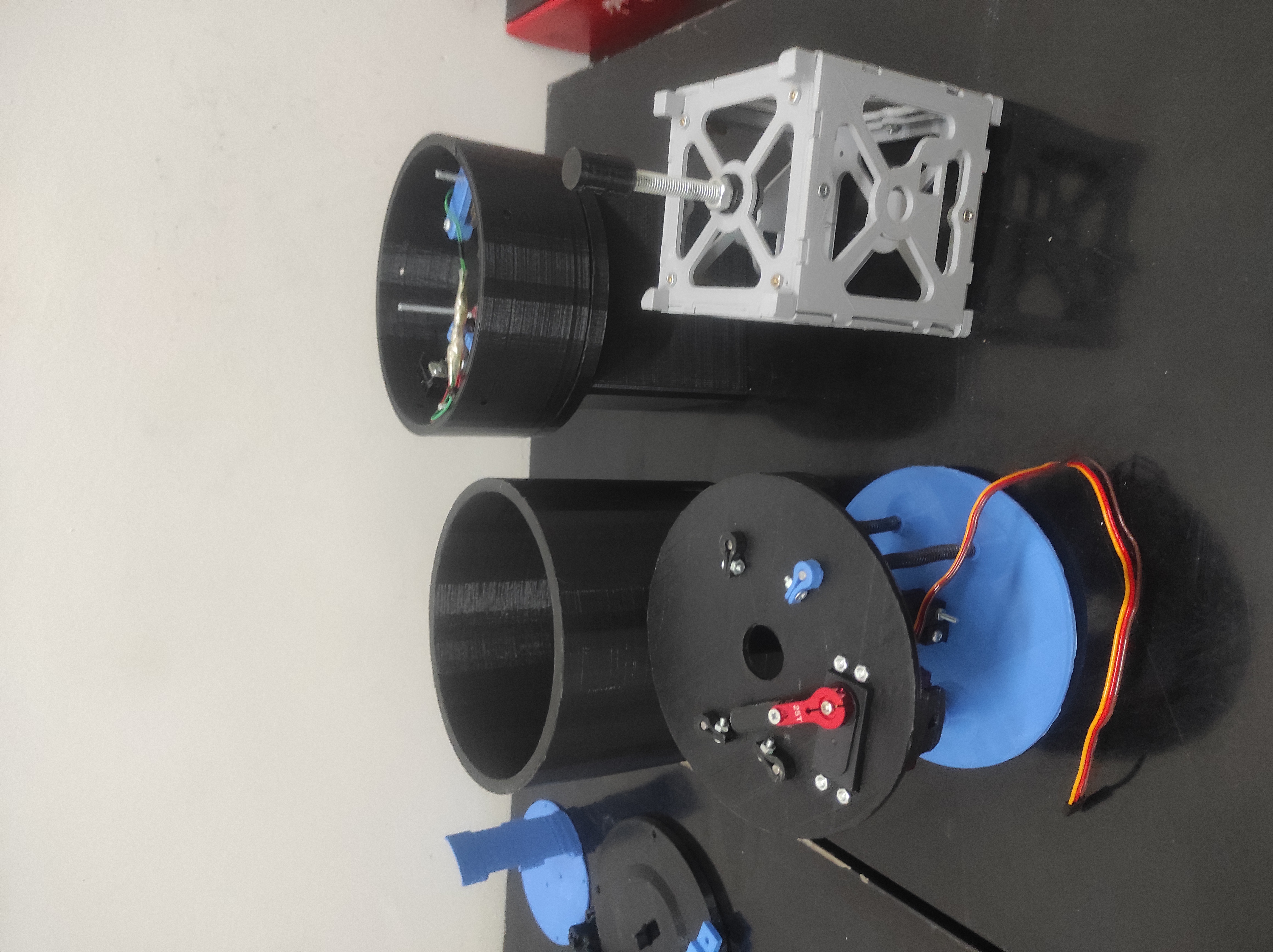
- 🛰️ CubeSat (NOCTUS-06): 1U chassis designed in SolidWorks, measures critical data once per second.
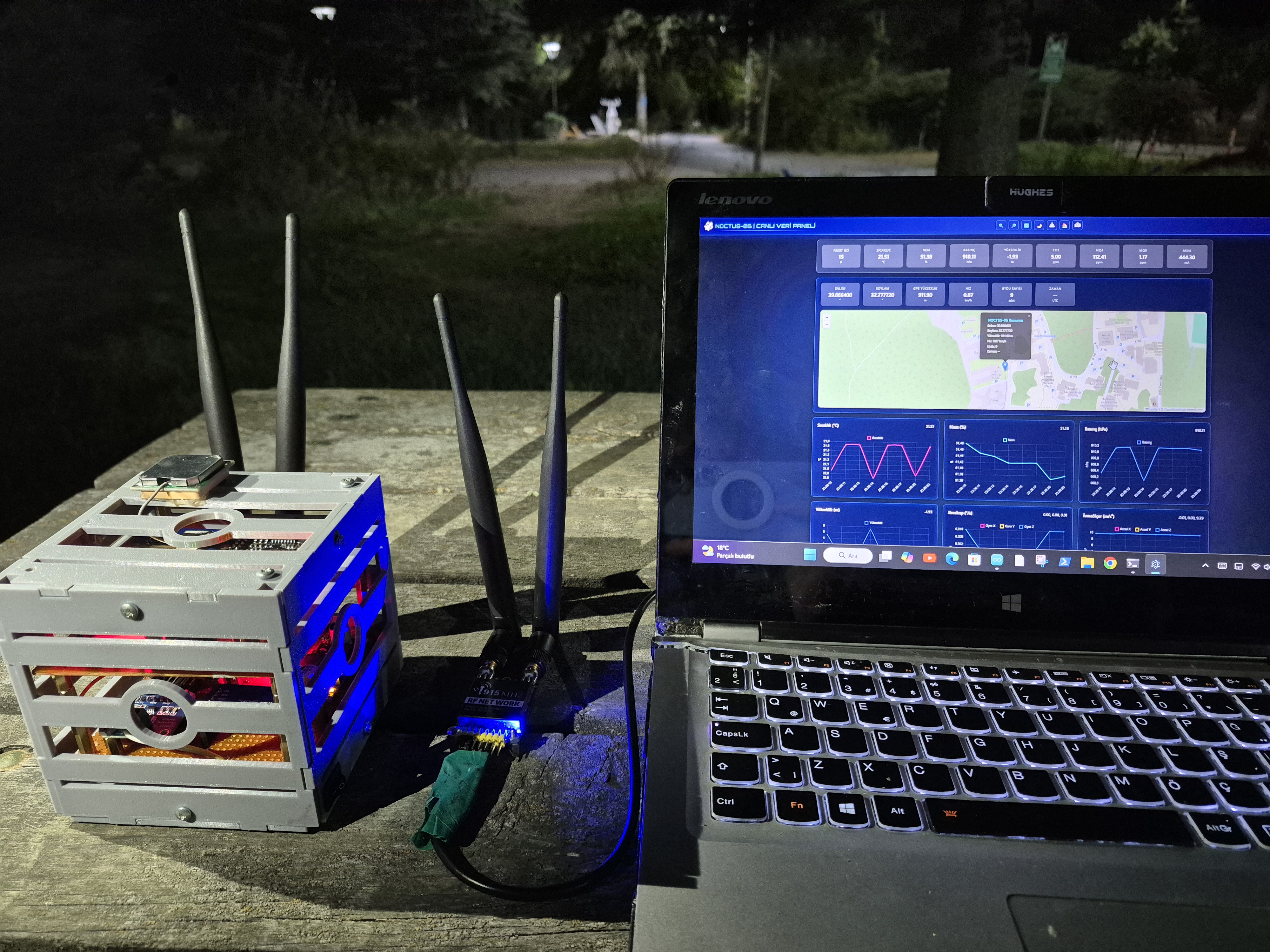
- 📡 Real-Time Data Stream: Data is packaged in JSON format and transmitted instantly via RF telemetry.
- 🖥️ Desktop User Interface (GUI): Custom GUI visualizes live data, map positions, and real-time graphs.
- 💾 Dual-Layer Data Storage: Data is saved to an onboard SD card and simultaneously stored on Firebase.
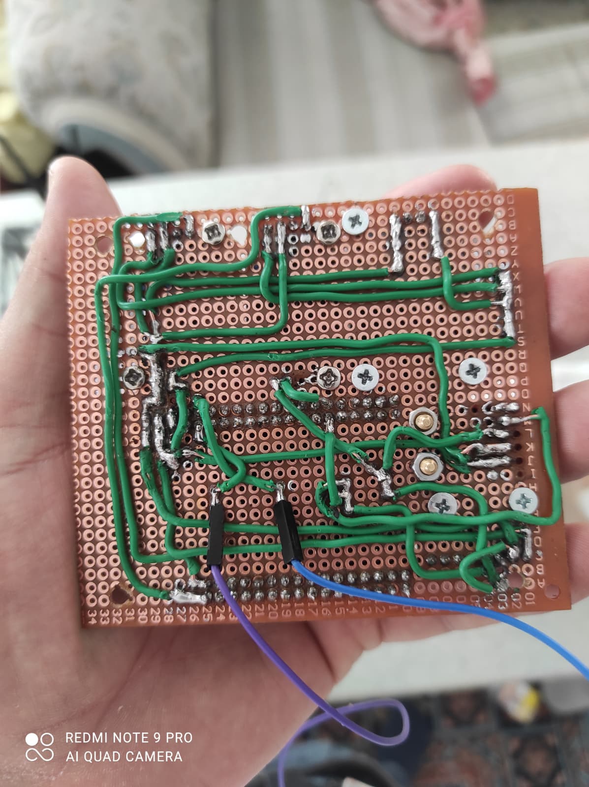
Technical Specifications
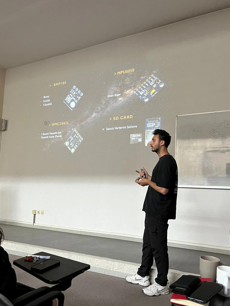
- Sensors: BME280, MH-Z19, MQ-4, MQ-9, MPU6050, INA219
- Positioning: GY-NEO6MV2 GPS Module
- Processor: Arduino Mega 2560 Pro Mini
- Communication: RF900 Ultra Long Range Radio Modem
- Power: 2x 18650 Li-ion Battery (7.4V), 5V DC-DC Converter
Flight Tests & Mission Simulation
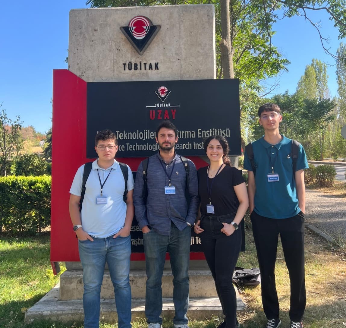
The project's final phase involved a critical mission simulation to test the end-to-end functionality of the NOCTUS-06 system. The CubeSat was deployed via a drone to perform real-world data acquisition. The following images document the key stages of this successful field test, from system integration to live data monitoring and autonomous flight.
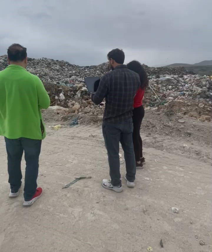
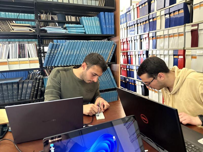
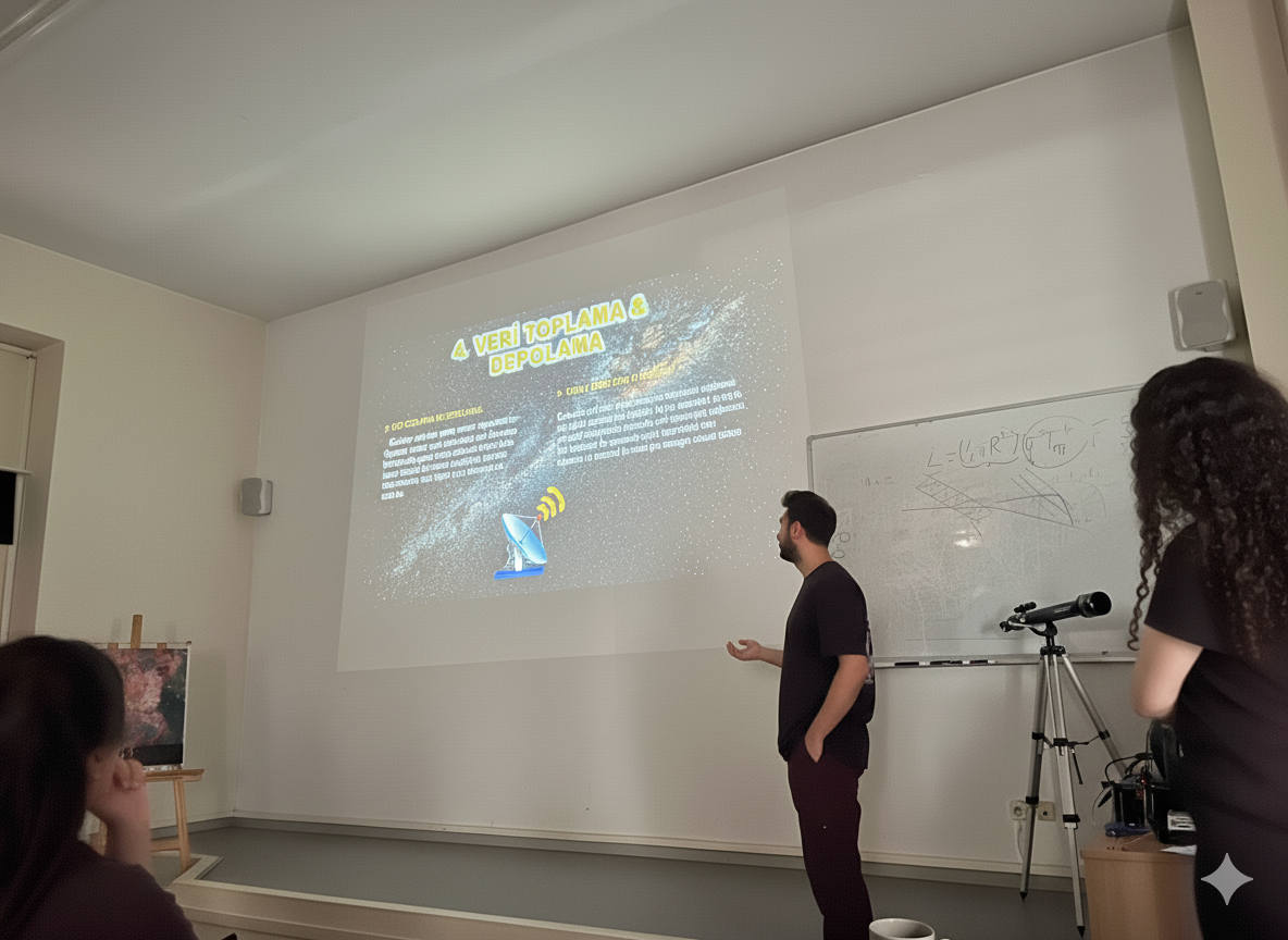
Real-time control of incoming data from the Noctus06 satellite during its flight over the solid waste disposal site. This stage was critical for verifying the telemetry link and ensuring the accurate reception of sensor data.
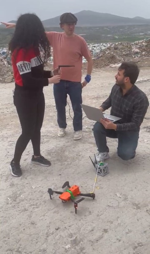
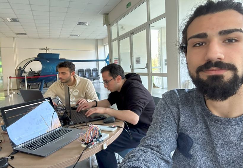
Integration of the Noctus06 CubeSat onto the drone platform followed by system checks. During this phase, the satellite's compatibility with the carrier system and its telemetry link were verified, while preliminary measurements were taken to calibrate the methane gas sensors.
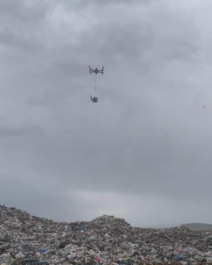
Autonomous flight test of the Noctus06 CubeSat. During its flight over the solid waste disposal site, the drone-mounted satellite collected a wide range of atmospheric data—including temperature, pressure, humidity, and other gas levels—with a primary focus on identifying methane sources. This test marks a significant step in demonstrating the project's capability for multi-parameter environmental monitoring.
Conclusion and Learnings
This project has provided practical experience in embedded systems programming, sensor integration, power management, and wireless communication. The successful real-time transfer of data in JSON format to a Flask and Electron-based interface demonstrates a complete system integration.